Chamberlin Trimetric
Classification |
Miscellaneous |
Available forms |
Forward spherical projection |
Defined area |
Global |
Alias |
chamb |
Domain |
2D |
Input type |
Geodetic coordinates |
Output type |
Projected coordinates |
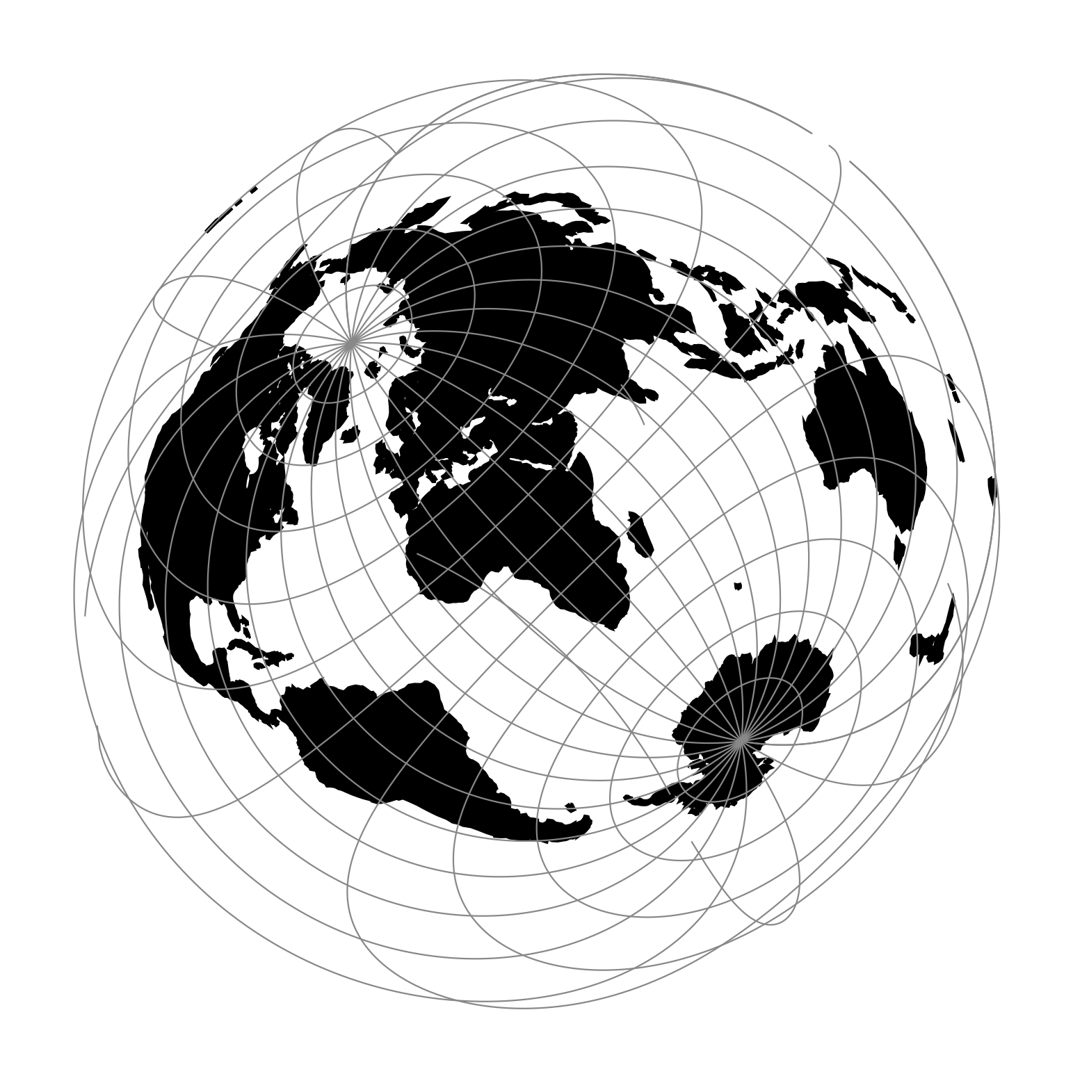
proj-string: +proj=chamb +lat_1=10 +lon_1=30 +lon_2=40
Parameters
Required
Note
Control points should be oriented clockwise.
- +lat_1=<value>
Latitude of the first control point.
- +lon_1=<value>
Longitude of the first control point.
- +lat_2=<value>
Latitude of the second control point.
- +lon_2=<value>
Longitude of the second control point.
- +lat_3=<value>
Latitude of the third control point.
- +lon_3=<value>
Longitude of the third control point.
Optional
- +lon_0=<value>
Central meridian/longitude of natural origin, longitude of origin or longitude of false origin (naming and meaning depend on the projection method).
Defaults to 0.0.
Note
The default convention is to interpret this value as decimal degrees. To specify radians instead, follow the value with the "r" character.
Example: +lon_0=1.570796r
See Projection Units for more information.
- +R=<value>
Radius of the sphere, given in meters. If used in conjunction with
+ellps,+Rtakes precedence.See Ellipsoid size parameters for more information.
- +x_0=<value>
False easting, easting at false origin or easting at projection centre (naming and meaning depend on the projection method). Always in meters.
Defaults to 0.0.
- +y_0=<value>
False northing, northing at false origin or northing at projection centre (naming and meaning depend on the projection method). Always in meters.
Defaults to 0.0.