Bertin 1953
New in version 6.0.0.
Classification |
Miscellaneous |
Available forms |
Forward, spherical projection |
Defined area |
Global |
Alias |
bertin1953 |
Domain |
2D |
Input type |
Geodetic coordinates |
Output type |
Projected coordinates |
proj-string: +proj=bertin1953
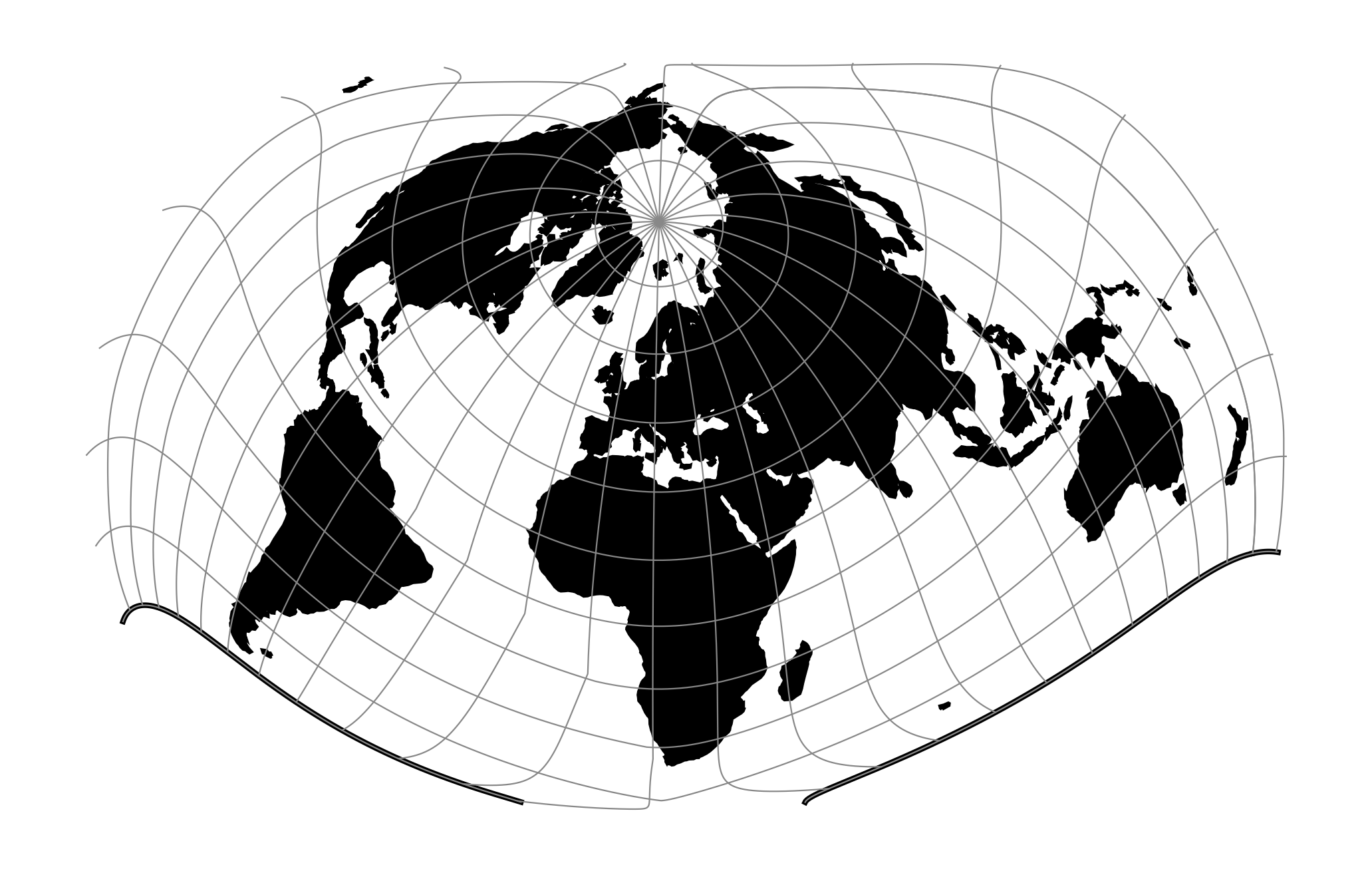
The Bertin 1953 projection is intended for making world maps. Created by Jacques Bertin in 1953, this projection was the go-to choice of the French cartographic school when they wished to represent phenomena on a global scale. The projection was formulated in 2017 by Philippe Rivière for visionscarto.net.
Usage
The Bertin 1953 projection has no special options. Its rotation parameters are fixed. Here is an example of a forward projection with scale 1:
$ echo 122 47 | src/proj +proj=bertin1953 +R=1 0.72 0.73
Parameters
Note
All parameters for the projection are optional.
- +R=<value>
Radius of the sphere given in meters. If used in conjunction with
+ellps,+Rtakes precedence.
- +x_0=<value>
False easting.
Defaults to 0.0.
- +y_0=<value>
False northing.
Defaults to 0.0.
Further reading
Philippe Rivière (2017). Bertin Projection (1953) <https://visionscarto.net/bertin-projection-1953>, Visionscarto.net.